 Geobru catalogue
land use
Type of resources
Available actions
Topics
INSPIRE themes
Keywords
Contact for the resource
Provided by
Formats
Representation types
Update frequencies
Scale
-
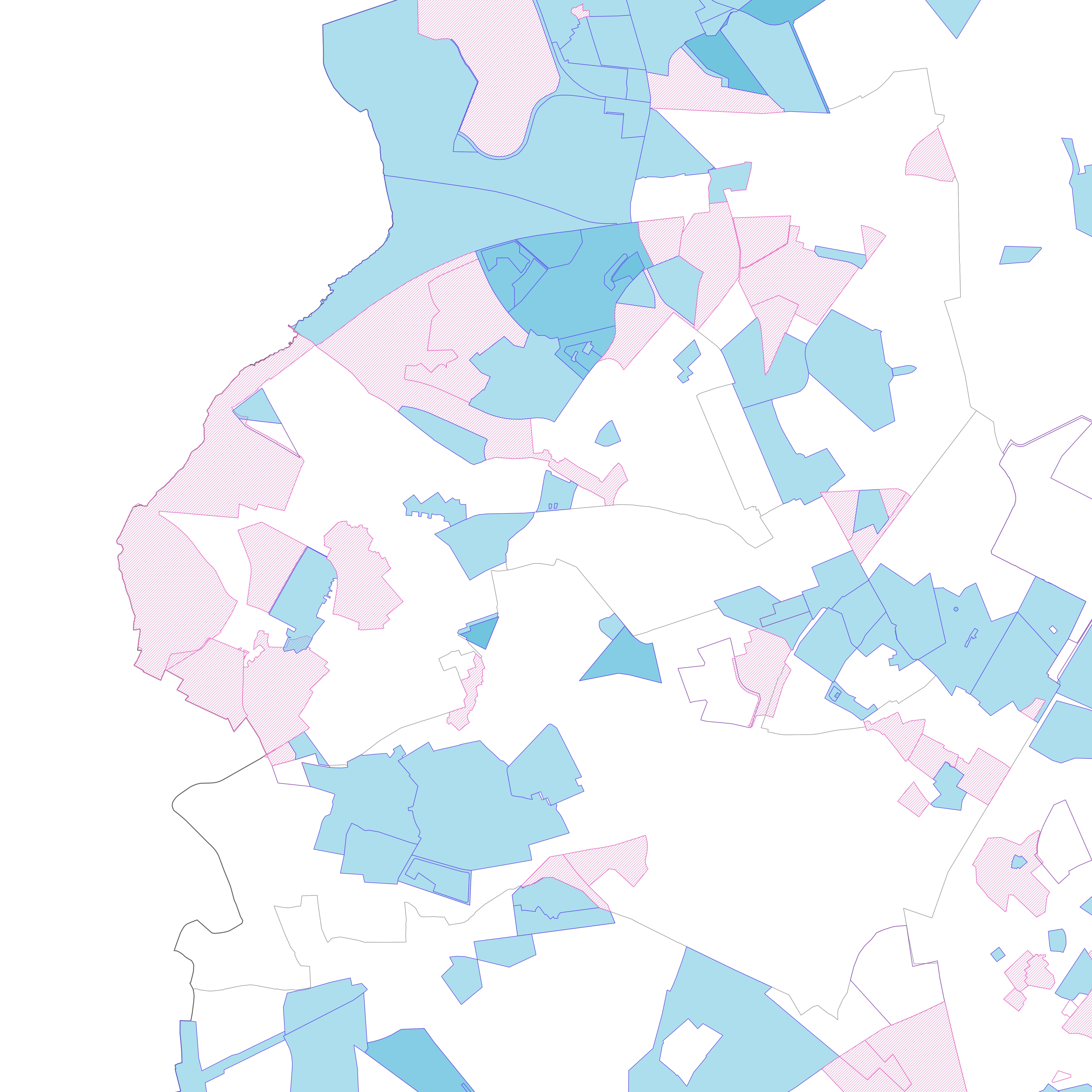
Brussels-Capital Region: Sensitivity classes applicable to the soil state registry, defined according to the regional land use plan (2017) and according to the correspondence established in the decree of 29 March 2018. Soil pollution response standards are derived from this. The sensitivity class is to be adapted to 'special area' if the site under study is in a Natura 2000 area or in a drinking water catchment protection area. The dataset specifies whether the site is yes (t=true) or no (f=false) in such an area. There are 6 different sensitivity classes: (1) residential, (2) particular, (3) industrial, (4) ZFM and ZEMU, (5) ZIR, ZIRAD and RF, (6) other.
-
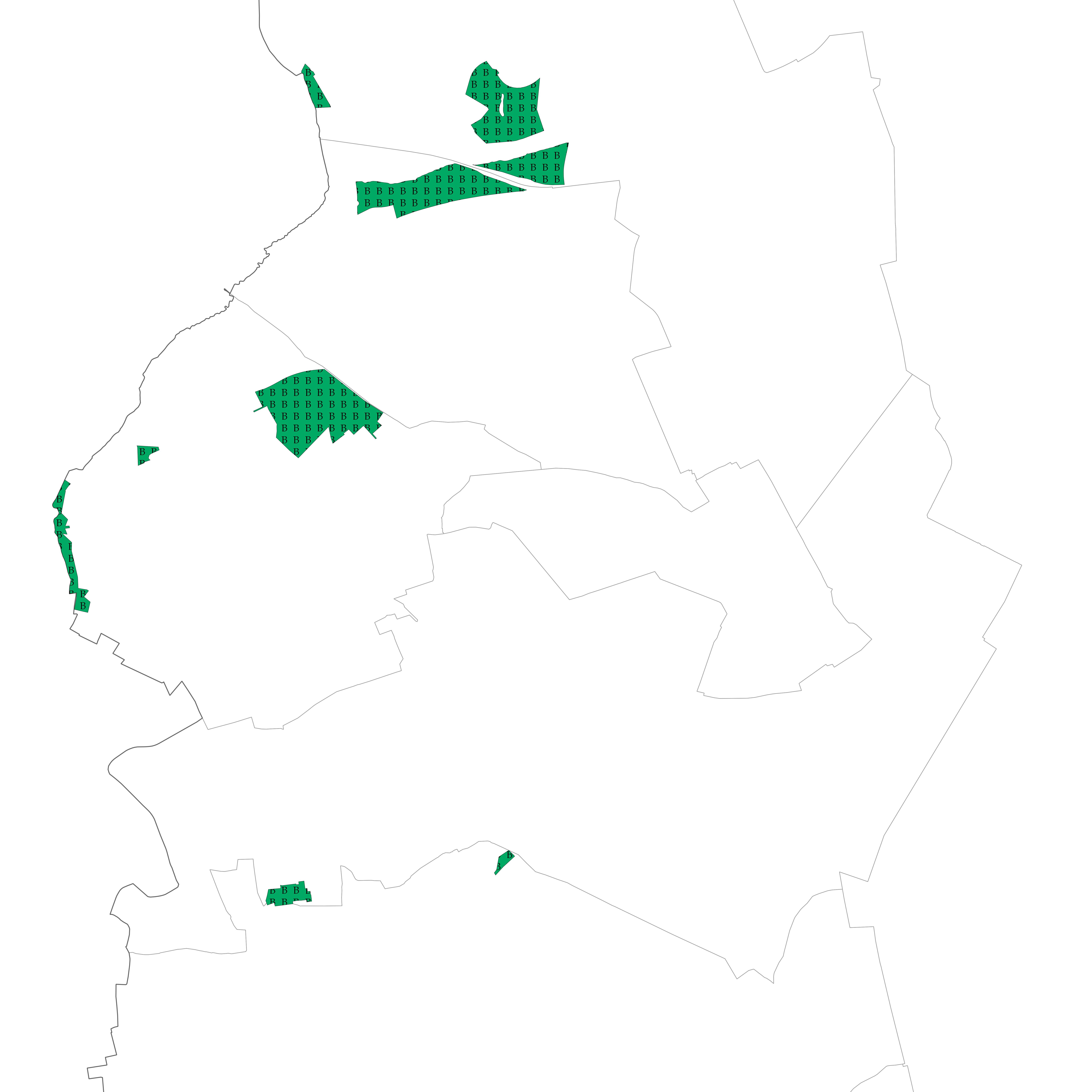
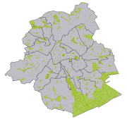
Brussels-Capital Region : Areas intended for the conservation and the regeneration of a natural environment that is of high biological value as it shelters rare animal and vegetable species or boasts considerable biological diversity
-
Brussels-Capital Region: The map of soil state includes all land parcels for which Brussels Environment has verified information related to soil quality. Each parcel registered in the inventory falls into a category that reflects a presumption of pollution and the possible studies and treatment of soil pollution that have been carried out there. The data are updated daily.
-
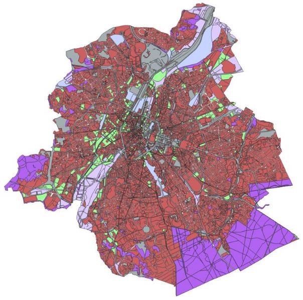
Section of the municipality's territory with a particular use of the land, as stipulated by graphical and written regulations, authorised by decree
-
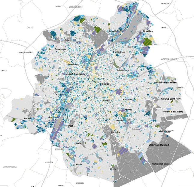
Brussels-Capital Region : database of green spaces and recreational areas in the Brussels-Capital Region, accessible to the public
-
Brussels-Capital Region : "any particularly remarquable building, including installations or decorative elements being a constitutive part of it" having been the subject of a decree for its conservation